Kornylii Tretiak, the Doctor of Science and Professor, the Director of Institute of Geodesy, is one of those people who know a lot about the icy continent, not only from literature and television films. He felt the cold breath of Antarctica, was a direct participant in several expeditions to the Vernadskyi Research Base of Ukraine which marks 20 years. On the eve of the anniversary, we met with Professor Kornylii Tretiak to speak about his journey to the sixth continent.
– I suggest beginning our conversation with geography and a brief excursion into history.
– The Vernadsky Research Base is located on Galindez Island of the Argentine Archipelago near the Antarctic Peninsula. Before we talk about the history of the station, we should, at least briefly, mention the Antarctic research in general.
The first expeditions crossing the Antarctic Circle, including the voyage of Dirk Geeritz, the Dutchman, are considered as the beginning of the Base. His ship in the squadron of Juan Maggio in 1559 after a storm in the Strait of Magellan suddenly lost the sight of other ships and went south. When it came down to the 64 degree south of latitude, he discovered the unknown land – Terra Australis.
Then James Cook, the famous British seaman, made a significant contribution to the exploration of Antarctic. After his voyages, he wrote, ‘There may be a continent, or large track of land, near the Pole, I will not deny. On the contrary, I am of opinion there is’.
It is officially believed that Antarctica was discovered in 1820 by the first Russian expedition of Fabian Gottlieb von Bellingshausen and Mikhail Lazarev on the ships Vostok and Mirny.
Without denying this version, let us remember, however, a mysterious historical fact. There are so-called Piri Reis map, which was found in 1929 during the works on The Topkapi Palace, the major sultan's residences. Piri Reis was a Turkish admiral and cartographer. The coast of Antarctica and America are depicted on his map which is dated 1513. In 1953, a copy of the map was sent to Arlington H. Mallery, the expert of ancient maps in the United States Hydrographic Office. He defined the used cartographic projection. The researcher made a graticule, put the Piri Reis map on the world map and received an absolute convergence. You need to have some knowledge of spherical trigonometry, which was developed only in 18th century, to build such map. Besides, it is the only map of 16th century, where the South American continent is placed correctly regarding Africa. These facts can be considered as the evidence that the ancient cartographers knew about the existence of Antarctica.
– When did, so to say, the stationary exploration started?
–The international systematic exploration of Antarctica has started since the mid of 20th century. On the continent, the various countries established their own permanent bases where they could do the meteorological, geophysical and geological research during the year. As is generally known, the British Faraday Scientific Base was established during the British Graham Land Expedition in 1934-1937 and became a precursor of the Ukrainian Vernadsky Research Base. Why did the British choose this group of islands? It is also called “Antarctic Switzerland”. There are practically no wind and big waves. Tourist yachts often stop at this exotic place. There was a mysterious adventure in 1946. When the next seasonal expedition came, there was nothing left, even the small planks, there was not a trace of the wooden houses. In all probability, the tsunami claimed all of it. Because the seismically active area of Chile is located near. After this incident, the station house was restored, and today it is a museum, watched by the Ukrainian polar explorers under the constant surveillance by the British Antarctic Survey.
The British began to build a new station on a nearby Galindez Island, named it “Faraday” in 1954. Its main purpose was to study Earth's magnetic field, ionosphere and the ozone layer. By the way, the ozone hole was first detected at the Faraday Station in 1985.
After the collapse of the Soviet Union in 1992, Russia declared itself the legal successor of all the Antarctic stations of the former Soviet Union and refused Ukraine in transmission of one of them at least. However, our country has made a considerable contribution to the exploration of Antarctica.
I suppose that at least 20 students of Department of Geodesy of the Institute of Lviv Polytechnic worked at the Antarctic stations at different times, let alone the active part of our country.
On July 3, 1992 the President of Ukraine Leonid Kravchuk issued a decree on the Ukraine's participation in the exploration of Antarctica. In November 1993, Britain spread the offer to transfer the Faraday Station to the one of ‘not Antarctic countries’ through it embassies. Ukraine proved to be one of such countries. By the way, it cost us a symbolic one pound. As opportunity offers I say that the British spend 10 million pounds every year to keep the station.
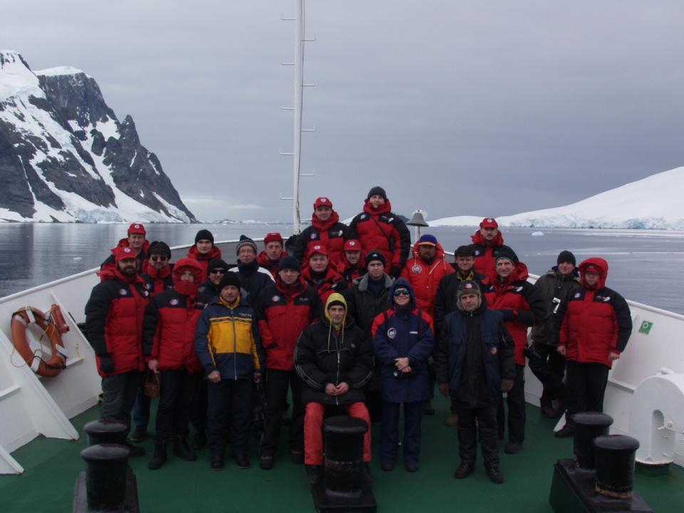
At the beginning, our three polar explorers went there to explore a quite complicated establishment. Everything was independent at the station – water, heating system, electricity. The first full Ukrainian expedition came in February 1996. The station got a new name “Akademik Vernadsky” and raised above the Ukrainian state flag of.
– Were you first of the geodesists of Lviv Polytechnic who came to the icy continent?
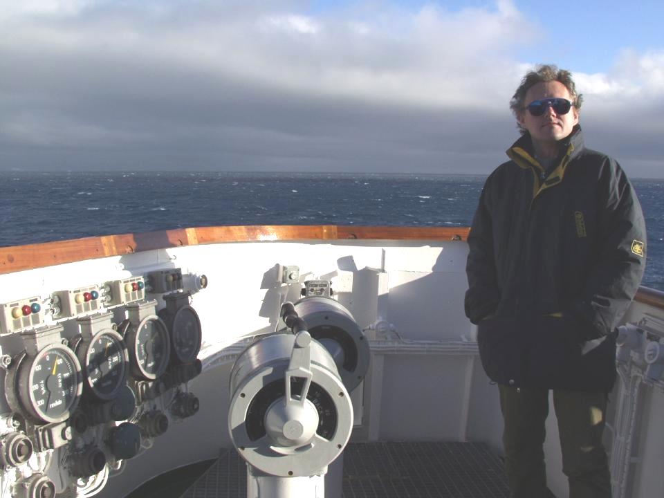
– No, I was not. Professor Hlotov was the first. It was in 2002. Together we took a part in the expedition in 2003. Since then I have been to Antarctica four times.
– What scientific goal was set for you?
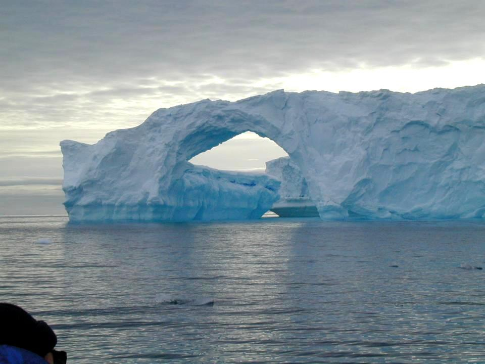
– We worked on the instructions of Antarctic Center of Ukraine which now operates at the Ministry of Education and Science of Ukraine. The study of the volume of glaciers in time is the first task which we always do. We used the terrestrial photogrammetric methods at first. Recently, we use the 3D laser scanning.
– In your previous interviews, you emphasized that glaciers in Antarctica is steadily diminishing. Does not this tendency stop?
– No, the melting of glaciers continues. Another thing is that this process is disproportionate in different years. But the global warming, which is caused by various factors, including technological, continues.
– Are your results passed to Antarctic Center of Ukraine?
– Yes, they are. But even if we do not go on an expedition, we continue to process information at the Institute. Following the results of our investigation, the monograph “The study of gravitational fields, ocean topography and crustal movements in the region of Antarctica” was published. Students defend their diplomas on our materials. In the second half of this year another monograph “The structure and Dynamics of geophysical fields in Western Antarctica” will be published.
– In 2015 you were going to go to Antarctica, but the journey failed…
– We do not regret highly as we planned only a short shift change of the staff. But we hope that our group will come to the station for a longer period next year. This will allow choosing the best weather for the explorations. In addition to the 3D laser scanning, we plan to use the unmanned vehicles to study the glaciers.