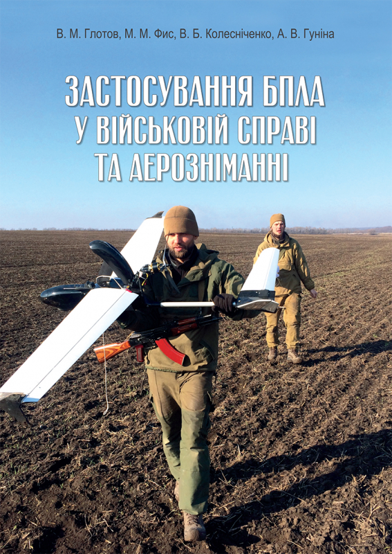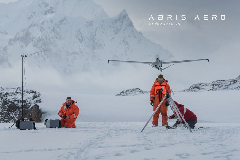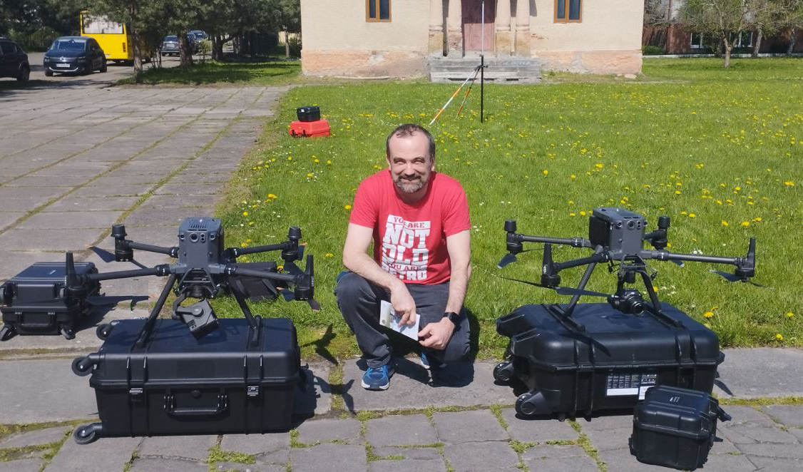
Scientists of the Institute of Geodesy (IGDG), Lviv Polytechnic, responded to the full-scale Russian invasion of 2022 with a timely monograph «UAV Application in Military Affairs and Aerial Surveying». Its authors – Professor Volodymyr Hlotov, who in 2018–2024 was the head of the Department of Photogrammetry and Geoinformatics (PG); Professor Mykhailo Fis; Vadym Kolesnichenko, founder, chief designer and technical director of the Ukrainian company ABRIS Design Group; as well as Alla Hunina, the engineer at the PG Department– carried out a comprehensive analysis of the use of UAVs for military needs. In particular, they considered the technology and peculiarities of their application for creating large-scale orthophotomaps and topographic plans. All analytical and technological calculations in the monograph were confirmed by a sufficient number of experimental works.
Main focus
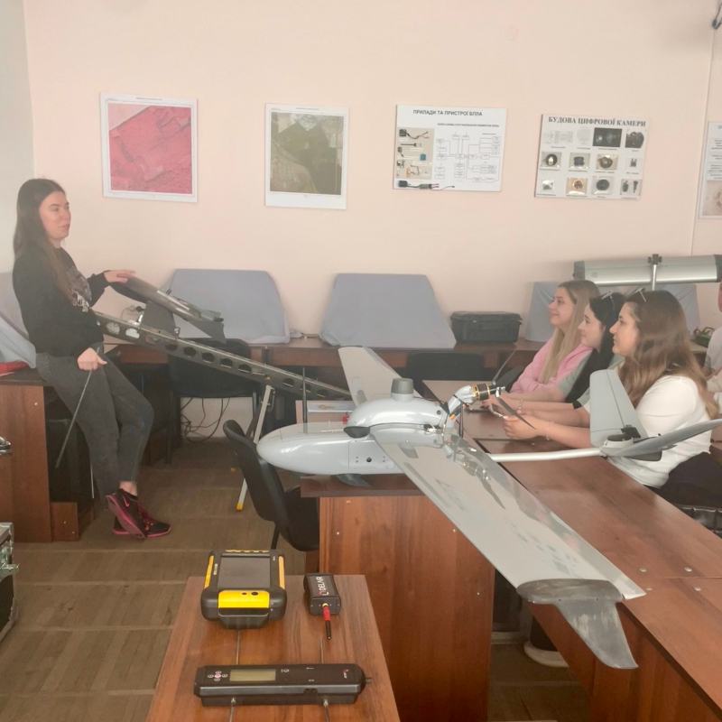
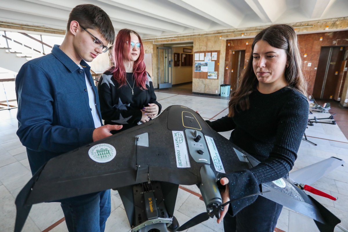
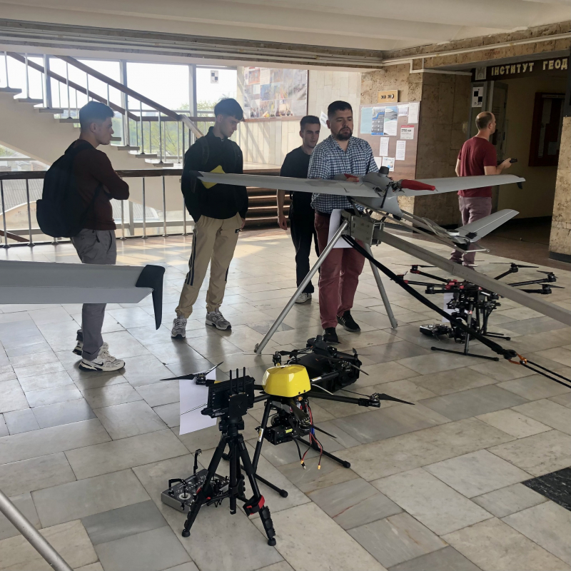
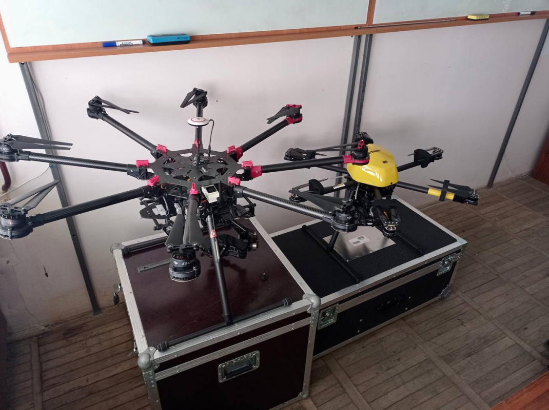
The main focus of the educational and professional program «Aerial Surveying with Unmanned Aerial Vehicles» is on the practical application of UAVs for aerial surveying, collection and analytics of geospatial data. That is, unmanned aerial vehicles take a series of aerial photographs, which are then combined into orthomosaics – accurate maps of the terrain with georeference. Based on these photographs, digital terrain models (DTMs), digital surface models (DSMs) and 3D models of structures are created. Graduates of the Institute of Geodesy also use UAVs to monitor construction, land use, and quarries, since UAVs allow you to regularly track changes at the site, such as the volume of excavation work, the height of embankments, the condition of roads, etc.
UAVs are also used to update cadastral maps, determine the boundaries of land plots, and control self-encroachments. After all, thanks to topographic aerial photography, it is possible to build an accurate topographic map with great detail faster than during lengthy ground measurements. Accordingly, the educational and professional program «Aerial Photography by Unmanned Aerial Vehicles» involves studying the technical aspects of UAV control, methods of processing aerial materials, building 3D models, orthophotomaps and digital terrain models. The program also requires a research practicum related to the topic of the master’s thesis.
Significant advantages
The knowledge and skills acquired under this major can also be applied in the Defense Forces of Ukraine, in particular in the Military Topographic Service of the Armed Forces of Ukraine – to create topographic maps and plans; in military intelligence units – to detect enemy forces and equipment; and by fire correctors – to transmit coordinates and visual information to missile troops, artillery and mortar units. In addition, they are used to detect enemy drones and electronic warfare and air defense systems, intercept enemy radio signals, patrol routes, control approaches to positions, search for targets, check suspicious objects, conduct preliminary reconnaissance of the area for mines, booby traps and assess the consequences of strikes.
The widespread use of both civilian and military UAVs has demonstrated their significant advantages over traditional reconnaissance and surveillance methods. In particular, these are high data collection speed, access to hard-to-reach areas, lower cost of shooting, high detail (up to centimeter accuracy) and automated processing and analysis of the information received. Among the disadvantages and limitations of the use of UAVs are dependence on weather conditions, limited flight time due to battery capacity, as well as the need for highly qualified operators.